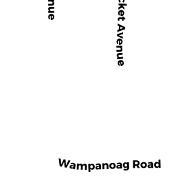
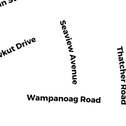
74 WAMPANOAG RD
Owner Information
CASEY DONAL P
36 SHATTUCK ST
PEPPERELL, MA 01463


Property Details
74 WAMPANOAG RD is classified as a Single Family Residential (Ranch).
The primary structure on this property was built in 1955. There are 1,502ft2 of built area within this property. There is 1,110ft2 of residential/living space within this property.
74 WAMPANOAG RD is valued at $336,700. The land is valued at $154,400 and the structures are valued at $180,600. There is an additional valuation of $1,700 on this property.
The most recent deed for 74 WAMPANOAG RD is recorded at the local registrar in Book 17881, Page 345. 74 WAMPANOAG RD was last sold on Monday, November 3, 2003 for $294,000.
Assessment data from fiscal year 2022.
Flood Data
This property is completely within the AE Zone (within floodplain).
The base flood elevation for this flood zone is 11 feet.
This information is sourced from the FEMA National Flood Hazard Layer. See our full disclamer.
Broadband Internet Providers
| Provider | Type | Bandwidth (mbps) | |
|---|---|---|---|
| Verizon New England Inc. | DSL | 3 | 0 |
| VSAT Systems, LLC. | Satellite | 2 | 1 |
| Comcast | Cable | 1000 | 35 |
| Viasat Inc | Satellite | 35 | 3 |
| HughesNet | Satellite | 25 | 3 |
| GCI Communication Corp. | Satellite | 0 | 0 |
Broadband service provider data from December 2020.